Alice Town Bimini, Bahamas 25º43.444N | 79º17.879W
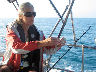 |
| Always hopeful. |
[[WARNING: This might be a long post. However, trust me, it is nothing compared to the length of this passage.]]
We've arrived! We're in the Bahamas!
My focus on crossing the Gulf Stream was so intent that it overtook all else, including the next step, which unfortunately is a big one. Bimini is sort of out here on its own, a nice stopover. The passage to Nassau requires a 10-hour hike across the Bahama bank, passing through the narrow Northwest Channel, then across the ridiculously deep Tongue of the Ocean, in total close to 125 miles, a 24-hour trek with no real stops in between.
Our longest passage to date was the 13-hour trip from Lake Worth to Miami, no overnighters. Looking ahead at this passage was not necessarily daunting, but one we approached with respect.
We had a plan. And then we changed it.
Based on weather info and good advice, we decided to leave Bimini at dawn on Friday morning for a 24-hour passage to Nassau.
Then all the other boats around us started leaving on Thursday.
When you're part of the Freshman cruisers class, you question everything, especially yourself. Decisions never make you feel 100% confident.
We mulled, questioned, talked to other boats, reevaluated and decided to leave at noon Thursday.
Two other boats in the Freshman class were doing the same thing and wanted to travel with us. They planned to head south out of Bimini through the very shallow Turtle Rocks and then possibly anchor at Chub Cay.
We decided instead to go north out of Bimini, to the North Rock waypoint through deep water (relatively). A one-hop jaunt, all 24-hours to arrive in Nassau by noon on Friday, well ahead of predicted weather on Saturday.
The two other boats decided to follow us, all agreeing that we were making our own decisions.
The three boats left Alice Town at 12:15 under the most perfect Bahamian skies and ridiculous blue water the color of heaven.
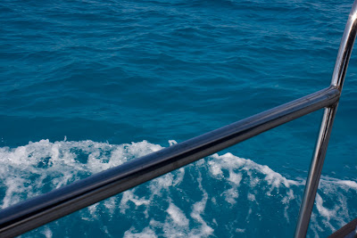 |
| Heavenly blue off the western shore of Bimini. |
Having finally "arrived" in the Bahamas, I donned my first bathing suit since leaving North Carolina last October. Out came the sunscreen, and I kicked back for six hours of sunlit Bahamian awesomeness.
We headed north along Bimini, a short 6-mile hop to North Rock after which we would turn east. As we approached the northern tip of Bimini, I noticed some clouds in the distance. In a few minutes, it looked more like this:
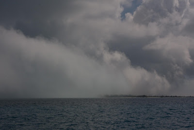 |
| That's the northern tip of Bimini just under the fog. |
A fog bank rolling right toward us. Fortunately the North Rock mark was still clearly visible.
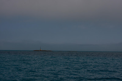 |
| North Rock waypoint, just north of Bimini. |
We rounded North Rock and entered the mysterious fog, everything around us beyond 20 yards, invisible. At the time, I thought it was strange. We found out later that fog on the Bahama Banks is incredibly rare. Lucky us! On a positive note, it warded off sunburn.
I was glad we weren't picking our way through shallow waters on the southern passage. On the other hand, who knows if the fog bank reached that far south, something we'll never know.
Our two buddy boats behind us were in hailing distance but invisible to us. The three of us huddled closer together to make a better radar target to approaching boats. This made me remember that we never bought that fog horn. Ah, well, I imagined this fog would not last for long. Yeah, you know, I'm often wrong.
Fog Bank: entered 1:36. Exited 3:44
Oh so slowly, the fog lightened and the ghost ships behind us came into view.
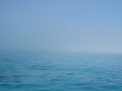 |
| Is there a boat there? |
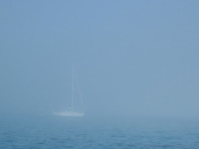 |
| Ah, yes, there IS a boat there. |
Lucky for me, I was on the 4 o'clock watch. YES. Before leaving the dock, I had worked out the following watch schedule thinking it played well into our individual biological clocks:
12-4 p.m. Chip
4-8 p.m. Tammy
8-11 p.m. Chip
11p.m. -2a.m. Tammy
2-5 a.m. Chip
5-8 a.m. Tammy
8 a.m.-arrival
The best laid plans.
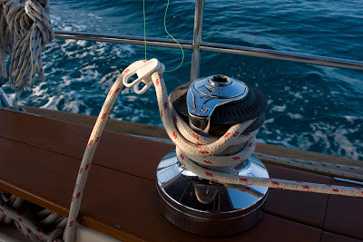 |
| Fishing line clipped to the jib sheet. |
My watch went smoothly -- and beautifully. Literally. I dropped a line in the water and watched as the sun took full advantage of the wide open, horizon to horizon stage, sinking behind me in an unbroken panorama of pastel perfection.
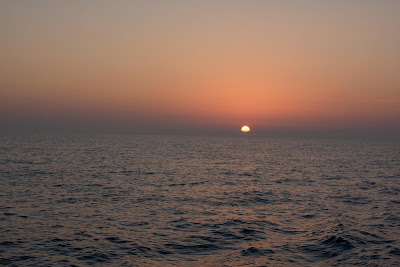 |
| Bahama Banks sunset. |
At least I thought it was perfect until I saw the aftermath. Would that be pluperfect?
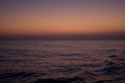 |
| Twilight on the Bahama Banks. |
The riot of gradation from violet to purple to peach made me want to print color swatches and revolutionize the fashion world. Instead I caught the photo and no fish.
 |
| Happy Chip making his long awaited Chef Boyardee for dinner. |
Under a waning moon, I handed the helm over to Chip until my 11 p.m. watch. Chip's watch was uneventful weather wise, but tense and exciting traffic wise. One of our buddy boats,
Island Moon, had AIS, a boat identification system, which provides detailed information on surrounding vessels, pinpointing them on the radar screen -- a radar screen extending far past anything we could pick up on our own radar.
During the dark of night heading across the shallow banks, several freighters approached on our same path.
Island Moon hailed the first boat by name and alerted him to our presence. The captain answered and kindly changed his course. The next one hailed by name did not answer. And did not answer. He kept approaching, somewhere out there in darkness, silently barreling toward us.
Island Moon hailed him again, using his vessel name
and destination. At long last, Chip tried one more time, "We don't want to talk to you. We just want a confirmation of a port to port pass."
He acknowledged us, and we passed port to port, changing my understanding of two ships passing in the night.
The playing field cleared of traffic in time for my 11 to 2 watch, but alas we approached the Northwest Channel, a narrow passage between two shoals after which the water quickly goes from 3 meters to 324 meters to over 2000 meters. Meters.
I was not really nervous about our approach. Pardon my ignorance. We were headed straight into wind on the nose and a rising tide coming straight at us as well. The wind was predicted to be a light 10-15, the tide unknown to us.
The swells started building a half mile or so before the Northwest Channel waypoint. Seconds after passing it, we entered the ominously named, Tongue of the Ocean. The swells got enormous and with the combination of swells and current coming toward me, the boat stalled. I thought I had lost steerage, a terrifying moment when the boat did not respond to my steering.
At the same moment our other buddy boat,
Sail Away, hailed us, just as I looked to port and saw another boat only 50 or so yards away headed the same direction and being thrown high up into the air, slamming back down and up again, like a toy boat tossed about in a fast-moving stream.
Chip advised Ken on
Sail Away to head back and anchor up. He was single handing and we were obviously in for a rough night. At that moment, we realized the boat beside us was Ken, because it started a slow pirouette, turning back toward the banks to anchor until dawn.
Island Moon anchored as well, both later reporting a miserable and bumpy night.
My steerage problem slowly righted itself as the boat and her captain adjusted to the new conditions. For a few minutes, I asked Chip to step in to see what he could manage against the waves. He usually reads the waves better than I do and knows the right angle to meet them most comfortably.
As we cleared the shallow water and into the deep, the current eased but the swells did not. The wind was cranking straight on our nose a consistent 16 knots, gusting to 20, sometimes above. The swells were a regular big, big, small, small, small, big, big, the large ones coming over the bow, confirmation for which I found when I went below in the wee hours to find we had left the bathroom hatch slightly ajar. Oy.
The size of the seas meant we could not use the autopilot for fear of overworking it. Instead we opted to overwork ourselves. Thus began 10+ hours of wrangling through black seas, watching the radar for traffic, counting the minutes until the end of our watches. Immediately it was clear 3-hour watches were not possible, so we switched to 2 hours, 1-3, 3-5, 5-7.
During my 3-5 watch, I braced my feet firmly at the base of the helm, leaned over resting my elbows on my knees and my hands, on opposite rungs of the wheel. For two solid hours, I alternated the tension on the wheel, like two hours of weight lifting, holding us on course, watching as each tenth of a mile clicked by, murderously slowly, on the GPS.
I became obsessed with the projected arrival time, continually altering course in an attempt to shave even one minute off the glorious end of the trip.
At exactly 5 a.m., Chip took over. I fell onto the cockpit bench and dropped into two hours of exhausted sleep.
We hoped the swell would ease with the sunrise. It did not. The swell maintained itself all the way until we came into the lee of New Providence Island, our destination.
Exhausted and exhilarated, we hailed port control to request entry at a few minutes after 10 a.m. Instead we heard,
Cara Mia, Cara Mia, this is
WeBeSailing! Chip looked at me, "Did you hear that???!?!!!? It's
WeBeSailing!"
I heard it but couldn't believe. In fact, Eric and Annie were quite coincidentally entering Nassau Harbor at the exact moment we were, them from the east, we from the northwest. We had not seen or talked to them since Vero Beach.
After 22 hours, the last 10 beating into waves, we pulled up to the dock at Nassau Yacht Haven and threw our lines to the welcoming hands of Eric and Annie.
Fog, forgotten. Tongue lashing, a distant memory. Exhaustion, real but soon remedied.
We made it, earned our way, every nautical mile of it, to Nassau.
Nassau, Bahamas 25º45.34N | 77º19.088W


