Beaufort, SC 32º25.837N | 80º40.583W
 |
| The entrance to Field's Cut on the ICW in Georgia. |
I left Beaufort feeling sad and mopey (is that one of the dwarves?), but the second we pulled out onto the ICW, my spirits lifted. Note to self: Feeling blue? Get moving!
We slipped quietly out of South Carolina, across the Georgia state line.
By the time my shift at the helm came, I was feeling all new and happy, even the GPS was smiling at me.
I would soon learn it was not smiling. It was laughing at me.
I might have had a new state of mind, but the pattern is an old one. My shift started as we entered Field's Cut where "reported water at mean low tide was three to four feet."
When were we entering? Mean low tide. I
mean. I might also add, it seemed much more "Field" than "Cut."
Ah well, forge ahead at mean low speed. I navigated it without anything worse than clenched teeth.
As we approached the town called Thunderbolt, this time with Chip at the helm, I radioed Causton Bluff Bridge to request an opening.
"Be advised, only half of the bridge will be opening."
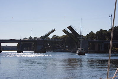 |
| Causton Bluff Bridge near Thunderbolt where half the near bridge section didn't open. |
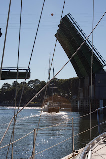 |
| Bad photo, good illustration of a claustrophobic opening. |
All day on the VHF, I had been taunted by the oft-repeated, "Isle of Hope, Isle of Hope." We could have made it farther, but how can you pass Isle of Hope, especially when it's billed as one of the prettiest spots on the ICW? It is.
We were walking the 1 1/2 miles to the local pub/restaurant when one of the marina dockhands stopped to give us a ride.
I opened the back door of his truck, and out tumbled three large, matching books about the size of the Reader's Digest Condensed Version -- right onto the road.
"Wow, what are these," I asked as I read the spine, "Millennial Harbinger."
"I'm a seminary student. I'm writing a paper on the Church of Christ and their stance on slavery."
Okay, I was
not expecting that.
Isle of Hope, GA 31º58.756N | 81º03.345W
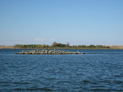 |
| Now THAT'S a shoal. |
 |
| Moon over beautiful Isle of Hope. |


